Description
LiGrip H300: 640,000 pts/s Portable LiDAR Mapping with 300 m Range and Multi-Mode SLAM
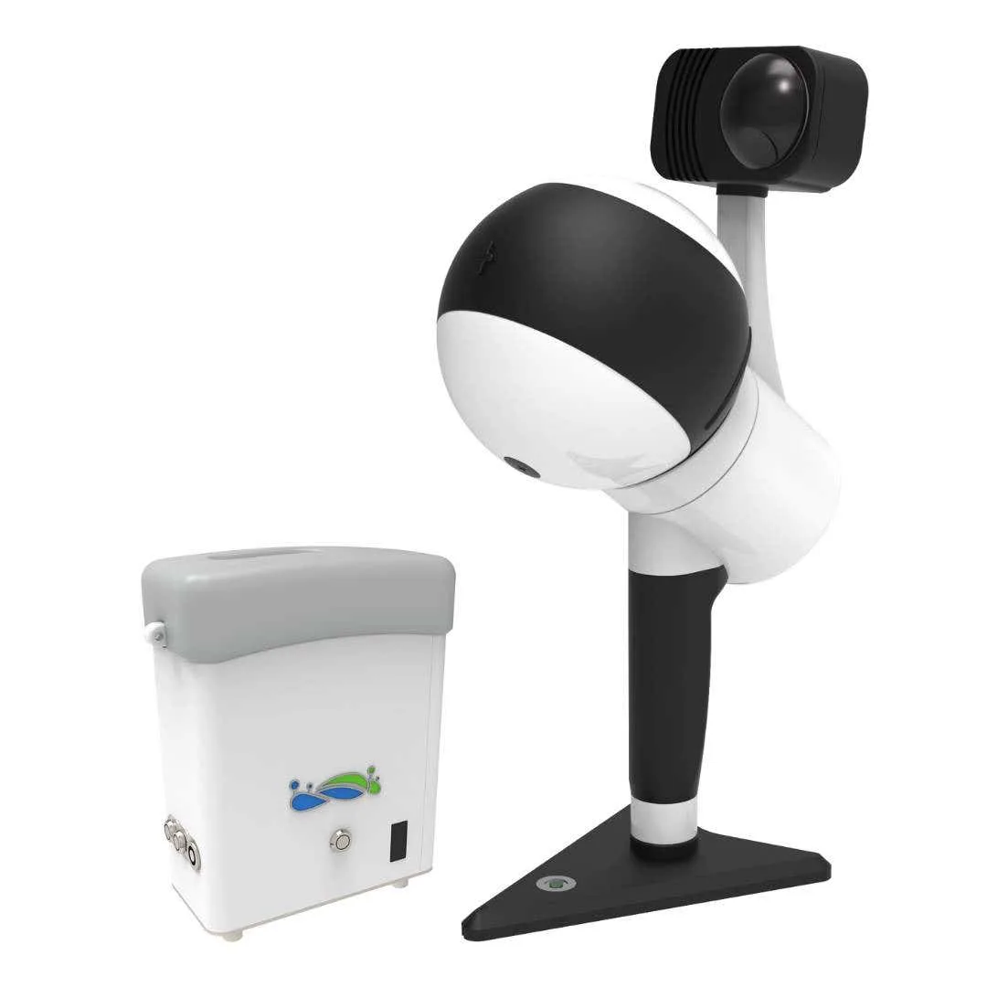
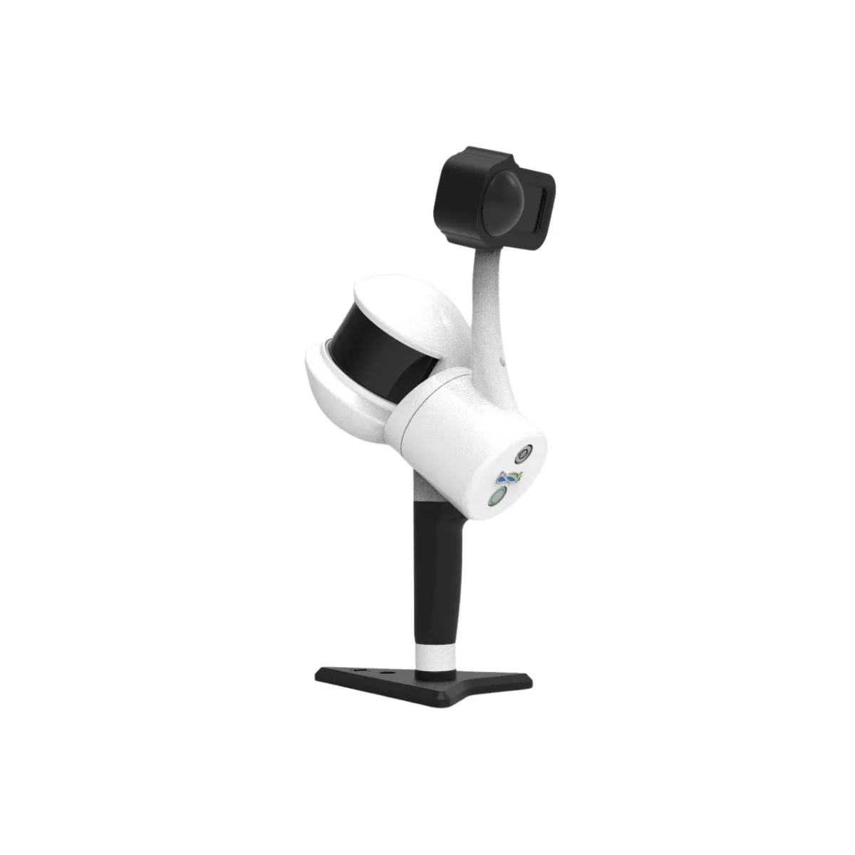
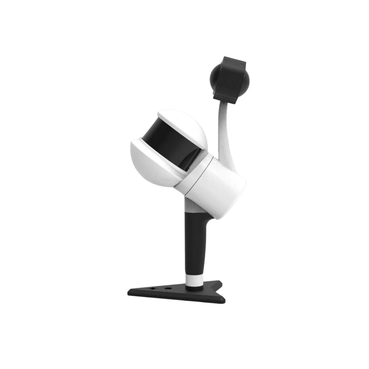
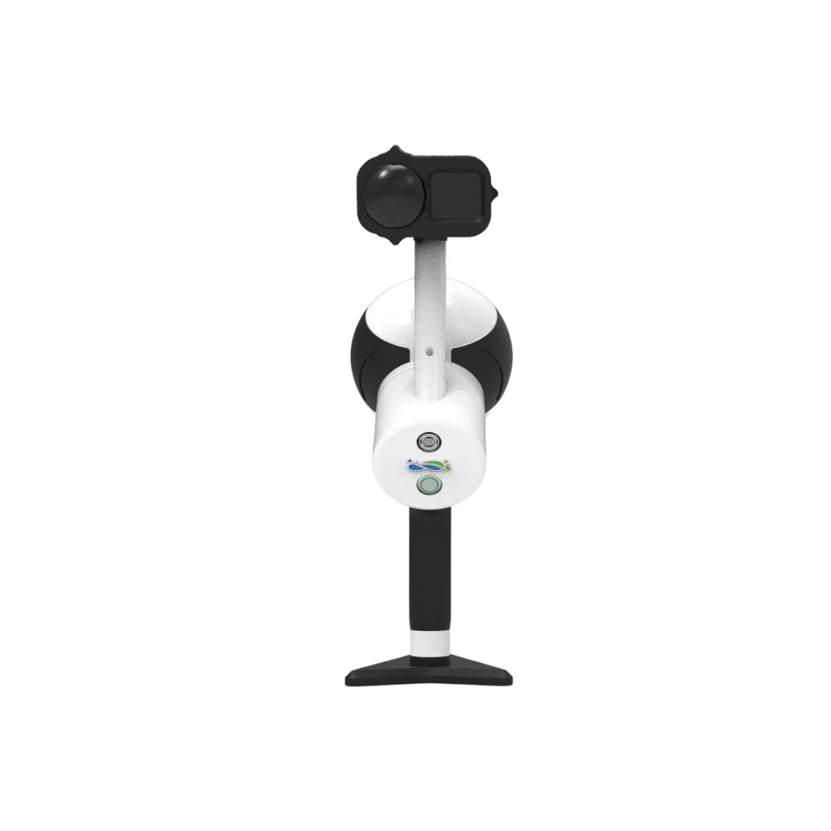
The GreenValley LiGrip H300 Rotating Handheld SLAM LiDAR System is a portable LiDAR platform designed for ground-based data capture across indoor and outdoor environments. It integrates a rotating LiDAR sensor, IMU, and 8K panoramic imaging system into a compact handheld unit weighing 1.26–1.58 kg (2.78–3.48 lbs), enabling flexible deployment without aerial systems.
With scan rates up to 640,000 points per second and detection range up to 300 m (984 ft), the system supports SLAM, RTK-SLAM, and PPK-SLAM workflows. It enables consistent point cloud generation in GNSS-denied environments and georeferenced outputs with ≤5 cm absolute accuracy when correction workflows are applied.
Key Features and Benefits
• Scan rate: 640,000 points per second supports high-density LiDAR mapping workflows
• Detection range: 300 meter range supports large-area ground mapping operations efficiently
• Field of view: 360 by 280 degree coverage ensures complete spatial capture
• Positioning modes: Multi-mode SLAM supports GNSS and non-GNSS mapping workflows
• Relative accuracy: ≤1 cm accuracy supports precise measurement and modeling workflows
• Absolute accuracy: ≤5 cm achievable using RTK or PPK correction workflows
• Imaging system: Integrated 8K panoramic camera supports point cloud visualization workflows
• System weight: 1.26 to 1.58 kg supports portable handheld mapping operations
• Visualization: Real-time point cloud display supports in-field data validation workflows
Portable LiDAR Capture With Real-Time Validation
The LiGrip H300 supports SLAM, RTK-SLAM, and PPK-SLAM workflows for consistent deployment across environments with varying GNSS availability. SLAM enables mapping in indoor and enclosed spaces without satellite positioning, while RTK-SLAM and PPK-SLAM workflows provide georeferenced outputs with ≤5 cm absolute accuracy.
Real-time point cloud visualization enables users to monitor scan progress and coverage during acquisition. This improves workflow efficiency and ensures accurate data capture across mapping, inspection, and documentation tasks.
Compatibility and System Integration
• Deployment modes: Supports handheld, backpack, vehicle-mounted, and UAV-mounted configurations
• GNSS module: Optional RTK module enables GNSS-based positioning workflows (sold separately)
• Control software: Integrates with GreenValley APP for acquisition control and monitoring
• Processing software: Compatible with LiDAR360MLS for SLAM processing and refinement workflows
• Data outputs: Supports LAS, LAZ, E57, PCD, and LiData file formats
• GNSS support: Compatible with GPS, BDS, GLONASS, Galileo, and QZSS systems
Applications and Use Cases
• Topographic mapping: Captures terrain data across varied ground environments efficiently
• Infrastructure inspection: Documents structural geometry and asset conditions accurately
• Forestry analysis: Measures canopy structure, terrain elevation, and vegetation density
• Mining operations: Supports stockpile measurement and terrain modeling workflows
• Indoor mapping: Captures data in GNSS-denied environments such as buildings and tunnels
• Utility inspection: Captures ground-level data around complex infrastructure assets
The LiGrip H300 provides a portable LiDAR mapping solution for projects requiring consistent data capture across varying environments. Its SLAM-based positioning and optional GNSS correction workflows enable flexible deployment across indoor and outdoor conditions.
Dronefly provides LiDAR systems configured for practical mapping and inspection workflows. Configure the LiGrip H300 with the appropriate modules and purchase from Dronefly with confidence.
System Parameters
• Dimensions: 195 × 125 × 350 mm
• Voltage: 15.2 V
• Battery pack dimensions: 134 × 64.6 × 167 mm
• Storage: 512 GB
• Handheld weight: 1.58 kg (including tripod and camera)
• Battery capacity: 5870 mAh
• Ingress protection rating: IP54
• Single battery life: 180 minutes
• Ports: USB, Ethernet
• Continuous scanning duration: Up to 55 minutes
• Suitable environments: Indoor and outdoor applications
• Operating temperature: -20°C to 40°C
• Equipment storage temperature: -40°C to 70°C
• Battery storage temperature: Recommended 22°C to 30°C
LiDAR Sensor Parameters
• Scan rate: 640,000 pts/s
• Detection range: Up to 300 m
• Range accuracy: 1 cm
• Field of view: 280° (horizontal) × 360° (vertical)
Camera Parameters
• Camera type: Insta X4
• Image resolution: 11904 × 5952
• Video resolution: 7680 × 3840
• Data format: MP4, INSV
• Dimensions: 95 × 60 × 55 mm (including heat dissipation structure)
RTK Module
• Satellite systems: GPS, BeiDou, GLONASS, Galileo, QZSS
• RTK accuracy: 1 cm + 1 ppm
• Protocols: RTK, PPK, NTRIP
• Dimensions: 97 × 71 × 30 mm
• Weight: 190 g
• RTK data format: .rtk
• GNSS raw data format: .log
• Compatibility: LiGrip H300, LiGrip H120
• Note: RTK module sold separately
Mapping Method
• Mapping principles: RTK-SLAM, PPK-SLAM, SLAM
• Real-time processing: Supported
Data Results
• Relative accuracy: ≤1 cm
• Absolute accuracy: ≤5 cm
• Point cloud format: LAZ (real-time), LiData (post-processing)
Reviews
There are no reviews yet.