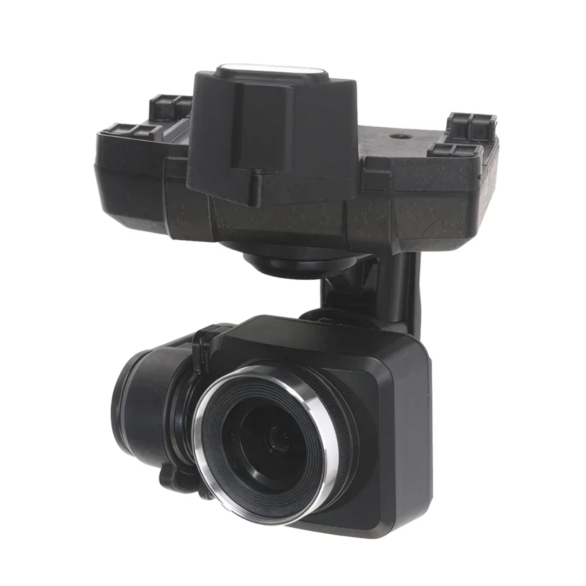
ACSL SOTEN Multispectral Camera is a Drone Camera / Payload from ACSL. Its 1-inch sensor, 28 mm equivalent focal length, and EXIF output compatible with RTK and mapping software make it practical for both standalone spectral surveys and integrated workflows combining multispectral capture with positional accuracy from the SOTEN.
Review the model information, technical details, compatibility, included configuration and documentation before requesting a destination-specific B2B quotation.
ACSL SOTEN Multispectral Camera is a Drone Camera / Payload from ACSL. Its 1-inch sensor, 28 mm equivalent focal length, and EXIF output compatible with RTK and mapping software make it practical for both standalone spectral surveys and integrated workflows combining multispectral capture with positional accuracy from the SOTEN RTK module.
ACSLManufacturer / brand
Drone Camera / PayloadModel / product type
QuoteExact configuration confirmed
Product overview
ACSL SOTEN Multispectral Camera technical overview
ACSL SOTEN Multispectral Camera is a Drone Camera / Payload from ACSL. Its 1-inch sensor, 28 mm equivalent focal length, and EXIF output compatible with RTK and mapping software make it practical for both standalone spectral surveys and integrated workflows combining multispectral capture with positional accuracy from the SOTEN RTK module.
Before purchase, confirm the exact model or part number, configuration, compatible accessories and included scope against the written quotation and manufacturer documentation.
Three checks before purchase
1
Confirm exact identity
Match the manufacturer model, part number and product-label details to the quotation.
2
Check compatibility
Review system, accessory, software, power and installation requirements that apply to this product.
3
Approve supplied scope
Confirm included items, condition, warranty, documentation and delivery terms before payment.
Product images
ACSL SOTEN Multispectral Camera images
Use the product media and exact-unit photographs supplied with the quotation to confirm model, configuration and condition.
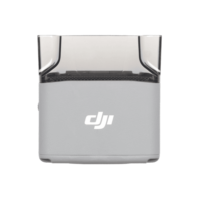
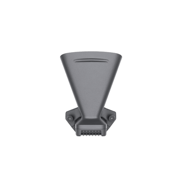
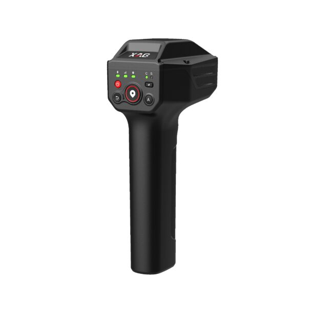
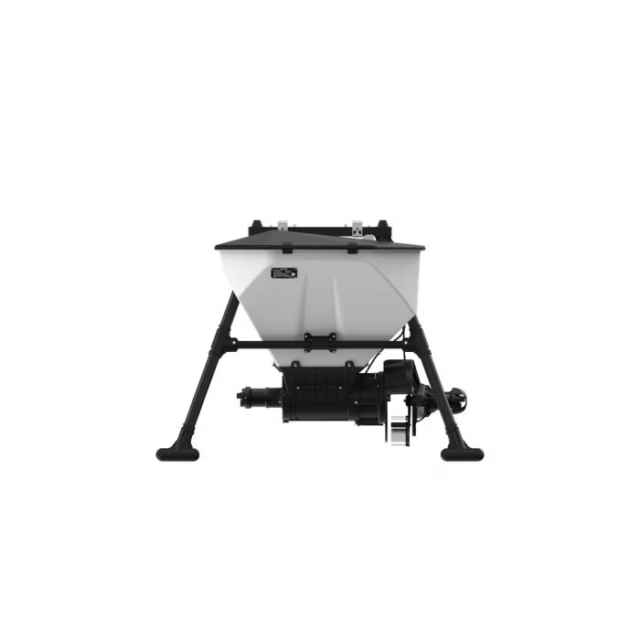
Product view 1ACSL SOTEN Multispectral Camera product reference image.
Technical highlights
Important ACSL SOTEN Multispectral Camera details
These points summarize model-specific technical information available for product evaluation.
01
Its 1-inch sensor, 28 mm equivalent focal length, and EXIF output compatible with
Its 1-inch sensor, 28 mm equivalent focal length, and EXIF output compatible with RTK and mapping software make it practical for both standalone spectral surveys and integrated workflows combining multispectral capture with positional accuracy from the SOTEN RTK module.
ACSL SOTEN Multispectral Camera: 20 MP RGB TIFF Multispectral Payload for Vegetation Analysis on the SOTEN Platform The ACSL SOTEN Multispectral Camera is a 20 MP gimbal payload built exclusively for the ACSL SOTEN unmanned aircraft system, designed for agricultural, environmental, and land management missions that require spectral data beyond what standard RGB cameras can capture.
05
Focal Length (35 mm equivalent): 28 mm
Focal Length (35 mm equivalent): 28 mm
Applications and fit
Where ACSL SOTEN Multispectral Camera can fit
Suitability depends on the exact configuration, compatible systems, intended professional use and manufacturer instructions.
01
UAS payload integration
Evaluate ACSL SOTEN Multispectral Camera for compatible aircraft and mission workflows supported by its exact interface, power and payload requirements.
02
Inspection and data capture
Match camera, thermal, LiDAR, spotlight, speaker or sensor capability to the intended workflow.
03
Platform compatibility
Confirm supported aircraft, gimbal/port interface, firmware, controller and application requirements.
04
Mission readiness
Verify mounting hardware, cables, storage media, environmental rating and included accessories.
Specifications
ACSL SOTEN Multispectral Camera specifications and identification
The table summarizes confirmed model and technical information from product specifications and available technical documentation. Configuration-sensitive values should be checked against the exact supplied unit.
Product
ACSL SOTEN Multispectral Camera
Manufacturer / brand
ACSL
Model / part reference
ACSL SOTEN Multispectral Camera
Equipment type
Drone Camera / Payload
ACSL SOTEN Multispectral Camera
20 MP RGB TIFF Multispectral Payload for Vegetation Analysis on the SOTEN Platform
Sensor resolution
20 MP 1-inch sensor captures high-detail multispectral imagery per frame
Solar sensor
built-in ambient light sensor corrects for variable lighting conditions during capture
Focal length
28 mm equivalent with H64°, V44°, D73° FOV for consistent area coverage per pass
RTK compatibility
EXIF data integrates with RTK module for geotagged multispectral deliverables
microSD recording
supports up to 512GB on U3 or V30 rated cards in FAT32 or exFAT format
ACSL TENSO Smart Controller
compatible for standard operational range and agriculture survey flights
ACSL TAITEN Smart Controller
compatible with extended range and full gimbal control customization
ACSL SOTEN RTK Module
integrates for centimeter-level geotagging of multispectral imagery per frame
RTK and mapping software
EXIF output compatible with photogrammetry and spectral analysis pipelines
microSD storage
U3 or V30 minimum, up to 512GB; FAT32 and exFAT file systems supported
Precision agriculture planning
multispectral maps inform variable-rate fertilization and application decisions
Dimensions
78 × 99 × 93 mm (W × H × D)
Supply Voltage
12 V
Compatibility and buying checks
What to verify before ordering ACSL SOTEN Multispectral Camera
Use this checklist to reduce model, configuration and integration mismatches.
Exact payload/accessory model and manufacturer part number
Supported aircraft and gimbal/port or electrical interface
Firmware, controller and application compatibility
Power, weight, mounting and payload-capacity limits
Environmental rating and mission-specific operating limits
Included cables, brackets, storage media and other accessories
Technical documentation
ACSL SOTEN Multispectral Camera manufacturer and technical resources
Manufacturer, regulator and other authoritative references are prioritized for product verification.
DOC
ACSL official technical resource
Reference material relevant to ACSL SOTEN Multispectral Camera identity, specifications, compatibility or deployment.
Key questions for evaluating ACSL SOTEN Multispectral Camera before purchase.
What is ACSL SOTEN Multispectral Camera?
Its 1-inch sensor, 28 mm equivalent focal length, and EXIF output compatible with RTK and mapping software make it practical for both standalone spectral surveys and integrated workflows combining multispectral capture with positional accuracy from the SOTEN RTK module.
What should be checked before ordering ACSL SOTEN Multispectral Camera?
Exact payload/accessory model and manufacturer part number; Supported aircraft and gimbal/port or electrical interface; Firmware, controller and application compatibility.
Are all ACSL SOTEN Multispectral Camera configurations identical?
No. Hardware revision, software, accessories, modules, handpieces, probes or other options can vary. The written quotation and exact-unit identification should define the supplied configuration.
What is included with ACSL SOTEN Multispectral Camera?
Only items explicitly listed in the quotation and packing scope should be treated as included. Reference photographs can show accessories or system components that are not part of the final offer.
Can ACSL SOTEN Multispectral Camera be shipped internationally?
International B2B delivery can be arranged for approved destinations subject to product-specific transport requirements, customs rules and the agreed freight, insurance and delivery terms.
ACSLManufacturer / brand
Manufacturer information
ACSL documentation for ACSL SOTEN Multispectral Camera
Manufacturer names and trademarks are used for product identification. Confirm model-specific instructions, compatibility and regional requirements before deployment.
To provide the best experiences, we use technologies like cookies to store and/or access device information. Consenting to these technologies will allow us to process data such as browsing behavior or unique IDs on this site. Not consenting or withdrawing consent, may adversely affect certain features and functions.
Functional
Always active
The technical storage or access is strictly necessary for the legitimate purpose of enabling the use of a specific service explicitly requested by the subscriber or user, or for the sole purpose of carrying out the transmission of a communication over an electronic communications network.
Preferences
The technical storage or access is necessary for the legitimate purpose of storing preferences that are not requested by the subscriber or user.
Statistics
The technical storage or access that is used exclusively for statistical purposes.The technical storage or access that is used exclusively for anonymous statistical purposes. Without a subpoena, voluntary compliance on the part of your Internet Service Provider, or additional records from a third party, information stored or retrieved for this purpose alone cannot usually be used to identify you.
Marketing
The technical storage or access is required to create user profiles to send advertising, or to track the user on a website or across several websites for similar marketing purposes.