Description
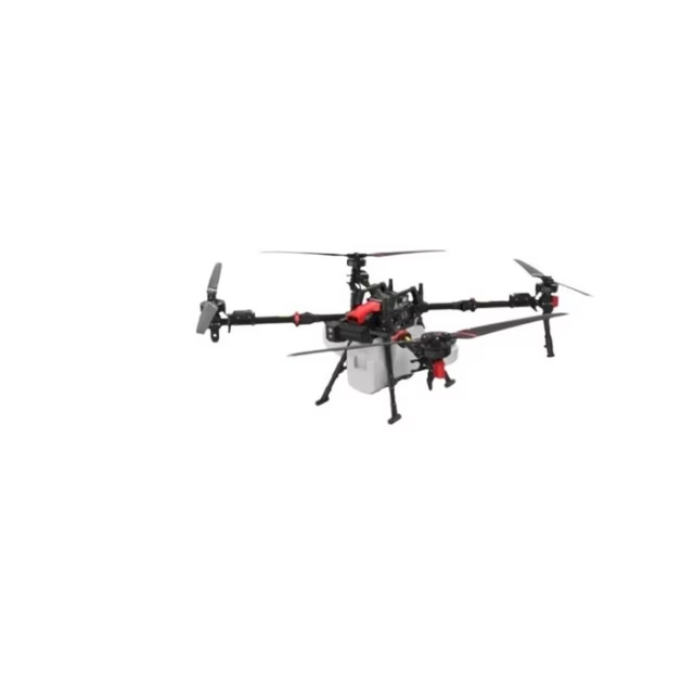
DJI Matrice 4D (Aircraft Only): Enterprise UAV Platform for Long-Endurance Inspection and Mapping Missions
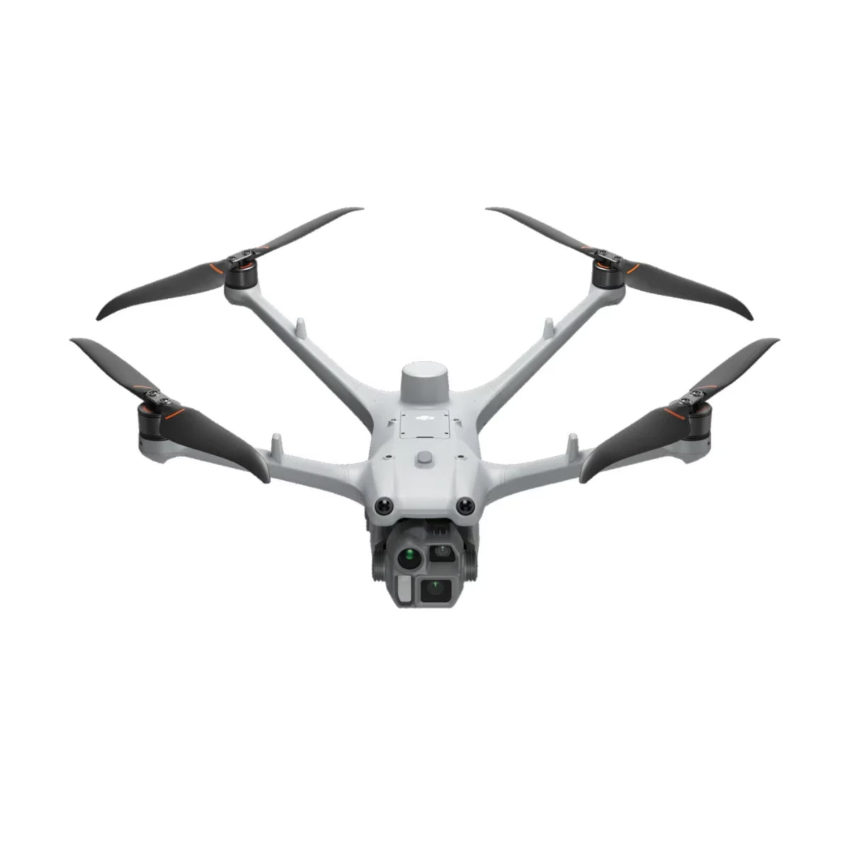
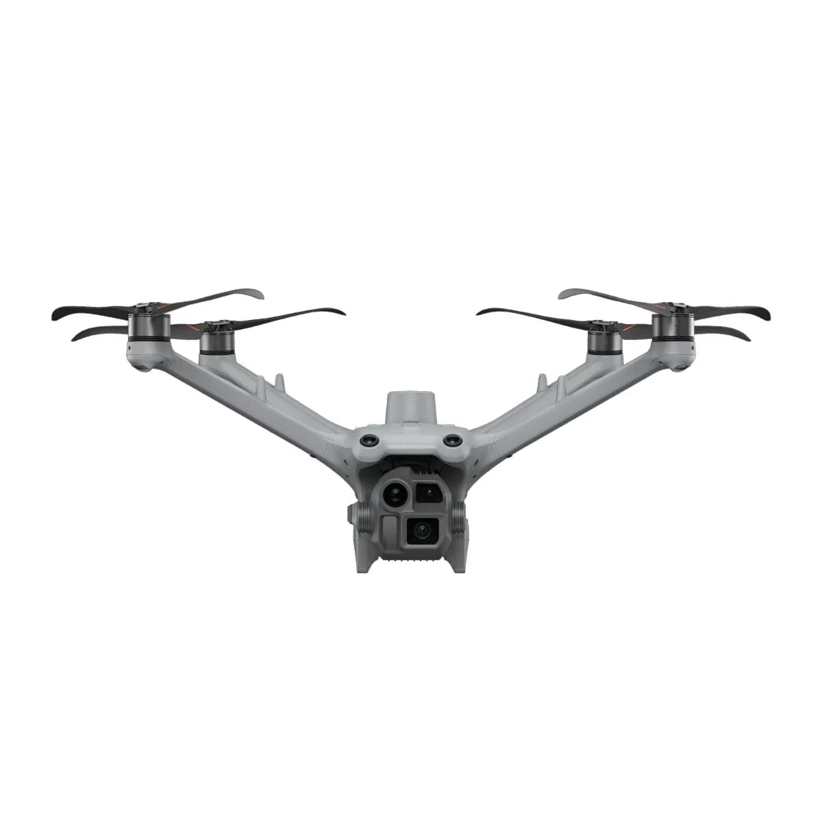
The DJI Matrice 4D is a professional enterprise drone built for organizations that require reliable aerial data collection across large areas and complex environments. The aircraft integrates a tri-camera imaging system with a laser range finder, allowing teams to capture detailed imagery while accurately measuring distant assets.
With extended endurance and weather-resistant construction, the platform supports operations in industries such as infrastructure inspection, energy monitoring, public safety, and surveying.
This aircraft-only configuration delivers the Matrice 4D airframe without a battery or remote controller, making it ideal for organizations expanding an existing fleet or integrating the aircraft into automated docking systems. The platform combines RTK positioning, advanced obstacle sensing, and DJI’s O4 Enterprise transmission technology to support precise navigation, stable communications, and dependable mission execution in demanding operational environments.
Key Features and Benefits
• Tri-camera payload system: combines wide, medium tele, and tele cameras for inspection versatility
• Mapping-grade wide camera: 20 MP 4/3 CMOS sensor with mechanical shutter
• Dual high-resolution tele cameras: 48 MP sensors capture detailed inspection imagery
• Laser range finder integration: measures inspection targets from 1 to 1,800 meters
• Extended mission endurance: up to 54 minutes forward flight capability
• Weather-resistant aircraft: IP55-rated design supports operation in rain and dust
• Integrated RTK module: provides centimeter-level positioning accuracy for mapping
• O4 Enterprise transmission: long-range communication supports stable video and control
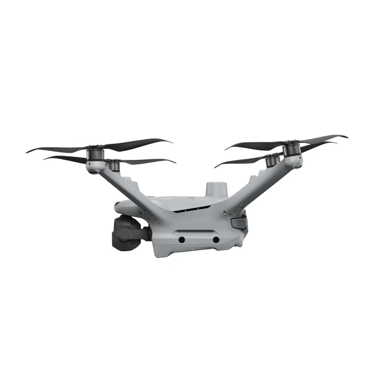
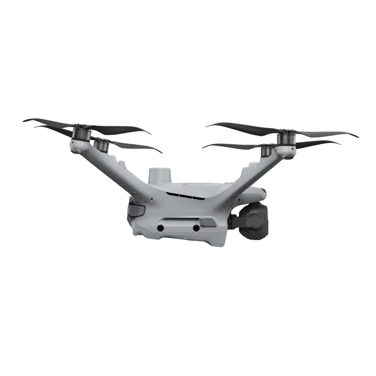
• Multi-directional sensing system: vision and infrared sensors improve obstacle awareness
• Dock-ready architecture: compatible with automated DJI Dock 3 deployment systems
Built for Scalable Enterprise Drone Operations
Organizations deploying drone programs require aircraft that can perform reliably across a wide range of operational tasks. The Matrice 4D addresses this need by combining long endurance, multiple imaging perspectives, and precise positioning in a single aerial platform.
With flight durations reaching 54 minutes during forward flight, teams can inspect larger infrastructure networks or survey extended project sites without frequent interruptions. The integrated RTK positioning system ensures mapping accuracy, while the O4 Enterprise transmission system maintains stable communications between the aircraft and the control station during long-distance missions.
Compatibility and System Integration
• DJI RC Plus 2 Enterprise controller: enables manual standalone flight operations
• DJI Dock 3 infrastructure: supports automated launch, landing, and charging operations
• DJI Pilot 2 flight software: used for aircraft control, configuration, and mission planning
• DJI FlightHub 2 platform: enables cloud-based fleet management and remote mission oversight
• Network RTK services: supports NTRIP connectivity for high-accuracy positioning workflows
• D-RTK 3 relay station: optional hardware improving RTK signal stability
Applications and Use Cases
• Utility inspection: monitor transmission lines and electrical infrastructure from safe distances
• Energy sector monitoring: inspect pipelines, substations, and industrial facilities
• Emergency response support: provide aerial situational awareness during search operations
• Survey and mapping projects: capture imagery for photogrammetry and mapping analysis
• Construction progress tracking: document large project sites with accurate aerial data
• Environmental monitoring programs: observe terrain, coastline changes, and wildlife habitats
The DJI Matrice 4D offers a versatile aerial platform for organizations that depend on consistent and accurate aerial data. By combining extended endurance with advanced imaging and positioning systems, the aircraft supports professional teams performing inspections, surveys, and monitoring missions across large operational areas.
Dronefly works with organizations to build complete UAV programs that go beyond hardware alone. When you purchase the DJI Matrice 4D (Aircraft Only) from Dronefly, you gain access to experienced specialists who can assist with system deployment, operational planning, and long-term integration into your drone operations.
Aircraft specifications
• Weight: 1850 g (includes battery, propellers, microSD; excludes third-party payloads)
• Max takeoff weight: 2090 g
• Dimensions: 377.7 × 416.2 × 212.5 mm (without propellers)
• Wheelbase: diagonal 498.5 mm
• Max ascent speed: 6 m/s (Normal), 10 m/s (Sport)
• Max descent speed: 6 m/s (Normal), 8 m/s (Sport)
• Max horizontal speed (sea level, no wind): 15 m/s forward (Normal, obstacle sensing on); 21 m/s forward (Sport)
• Max wind resistance: 12 m/s (operation and takeoff/landing)
• Max takeoff altitude: 6500 m
• Max flight time: up to 54 minutes
• Max hovering time: up to 47 minutes
• Max operating radius: 10 km
• Max flight distance: 43 km
• Max pitch angle: 25° (Normal), 30° (Sport)
• Max angular velocity: 200°/s
• GNSS: GPS + BeiDou + Galileo + QZSS + GLONASS (QZSS/GLONASS with RTK enabled)
• Hover accuracy: ±0.1 m (RTK vertical), ±0.1 m (RTK horizontal)
• Operating temperature: -20° to 50° C (-4° to 122° F)
• Ingress protection: IP55
• Motor model: 2611
• Propellers: 1364F foldable low-noise anti-ice
• RTK module: integrated
• Beacon: integrated
Camera system
• Matrice 4D sensors: wide 4/3 CMOS 20 MP; medium tele 1/1.3″ CMOS 48 MP; tele 1/1.5″ CMOS 48 MP
• Matrice 4TD sensors: wide 1/1.3″ CMOS 48 MP; medium tele 1/1.3″ CMOS 48 MP; tele 1/1.5″ CMOS 48 MP
• Lens (wide): 4D FOV 84°, 24 mm equiv., f/2.8–f/11; 4TD FOV 82°, 24 mm equiv., f/1.7
• Lens (medium tele): FOV 35°, 70 mm equiv., f/2.8
• Lens (tele): FOV 15°, 168 mm equiv., f/2.8
• Lens defogging: supported on wide, medium tele, and tele cameras
• ISO (Normal): ISO 100–25600
• Max photo size: 4D wide 5280×3956; 4D medium tele 8064×6048; 4D tele 8192×6144
• Max photo size: 4TD wide 8064×6048; 4TD medium tele 8064×6048; 4TD tele 8192×6144
• Minimum photo interval: 4D 0.5 s; 4TD 0.7 s
• Video codec: H.264 / H.265
• Video resolution: 4K 3840×2160@30fps; FHD 1920×1080@30fps
• Video bitrate: H.264 60 Mbps; H.265 40 Mbps
• Supported file system: exFAT
• Photo format: 4D wide JPEG/DNG (RAW); 4D medium tele JPEG; 4D tele JPEG; 4TD JPEG
• Video format: MP4 (MPEG-4 AVC/H.264)
• Digital zoom: tele 16× (112× hybrid zoom)
Laser rangefinding (aircraft laser module)
• Normal incidence range: 1800 m (1 Hz) @ 20% reflectivity
• Oblique incidence range: 600 m (1 Hz) (1:5 oblique distance)
• Blind zone: 1 m
• Accuracy (1–3 m): system error <0.3 m; random error <0.1 m @ 1σ
• Accuracy (other distances): ±(0.2 + 0.0015D), D in meters
Thermal imaging (Matrice 4TD only)
• Thermal imager: uncooled VOx microbolometer
• Resolution: 640×512 (standard); up to 1280×1024 with UHR infrared image function enabled
• Pixel pitch: 12 μm
• Frame rate: 30 Hz
• Lens: DFOV 45°, 53 mm equiv., f/1.0, focus 5 m to ∞
• Sensitivity: ≤50 mK@f/1.0
• Temperature measurement: spot and area
• Range (high gain): -40° to 150° C (-40° to 320° F)
• Range (low gain): 0° to 500° C (32° to 932° F)
• Accuracy: high gain ±2°C or ±2%; low gain ±5°C or ±3%
• Photo format: JPEG (8-bit), R-JPEG (16-bit)
• Video format: MP4
• Digital zoom: 28×
• Infrared wavelength: 8–14 μm
NIR auxiliary light (Matrice 4TD only)
• Infrared illumination FOV: 5.7° ± 0.3°
Gimbal specifications
• Stabilization: 3-axis mechanical gimbal (tilt, roll, pan)
• Matrice 4D mechanical range: tilt -140° to +50°, roll -52° to +52°, pan -65° to +65°
• Matrice 4TD mechanical range: tilt -140° to +113°, roll -52° to +52°, pan -65° to +65°
• Matrice 4D controllable tilt: -90° to +35°
• Matrice 4TD controllable tilt: -90° to +90° (upward tilt may obstruct cameras at +70° to +90°)
• Max control speed (tilt): 100°/s
• Angular vibration range: ±0.005°
Obstacle sensing
• Sensing type: omnidirectional binocular vision system + 3D infrared sensor (bottom)
• Forward: 0.5–20 m measurement; up to 200 m detection; FOV 95° (H) / 90° (V)
• Backward: 0.5–20 m measurement; FOV 95° (H) / 90° (V)
• Lateral: 0.5–16 m measurement; FOV 90° (H) / 90° (V)
• Upward: 0.5–20 m measurement; FOV 95° (front/back) / 90° (left/right)
• Downward: 0.5–16 m measurement; FOV 90° (front/back) / 95° (left/right)
Video transmission
• Video transmission system: DJI O4+ Enterprise
• Live view: up to 1080p/30fps (with DJI RC Plus 2 Enterprise)
• Operating frequency: 2.4 GHz, 5.1 GHz, 5.8 GHz (availability varies by region)
• Max transmission distance (unobstructed): 25 km (FCC), 12 km (CE/SRRC/MIC)
• Max download speed: 20 MB/s (DJI Dock 3 or DJI RC Plus 2 Enterprise)
• Lowest latency (aircraft to dock): approx. 100 ms
• Antenna: 8 antennas, 2T4R
• Supports DJI Cellular Dongle 2 (sold separately; region dependent)
Storage and memory card support
• Memory card requirement: U3 / Class10 / V30 or above
• Recommended microSD cards: Lexar 1066x (64/128/256/512GB), Kingston Canvas Go! Plus (64/128/256/512GB)
Battery specifications
• Capacity: 6768 mAh
• Voltage: 22.14 V
• Max charging voltage: 25.5 V
• Cell type: Li-ion 6S
• Chemical system: LiNiMnCoO2
• Energy: 149.9 Wh
• Weight: 640 g
• Cycle count: 400
• Charging temperature: 5° to 45° C (41° to 113° F)
• Discharge rate: 4C
• Max charging power: 1.8C
• Low-temperature charging: supports self-heating charging
Power adapter specifications
• Input: 100–240 V AC, 50/60 Hz, 3 A
• Total output: 240 W max
• USB-C output: 65 W max
• Dual-port charging: USB-C max output is 45 W when both ports are used


Reviews
There are no reviews yet.