Description
DJI Phantom 4 RTK: Precision mapping with integrated RTK positioning
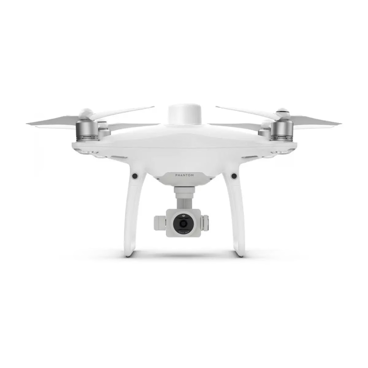
The DJI Phantom 4 RTK (S) provides a dependable, survey-grade mapping solution engineered for teams requiring fast deployment and high positional accuracy.
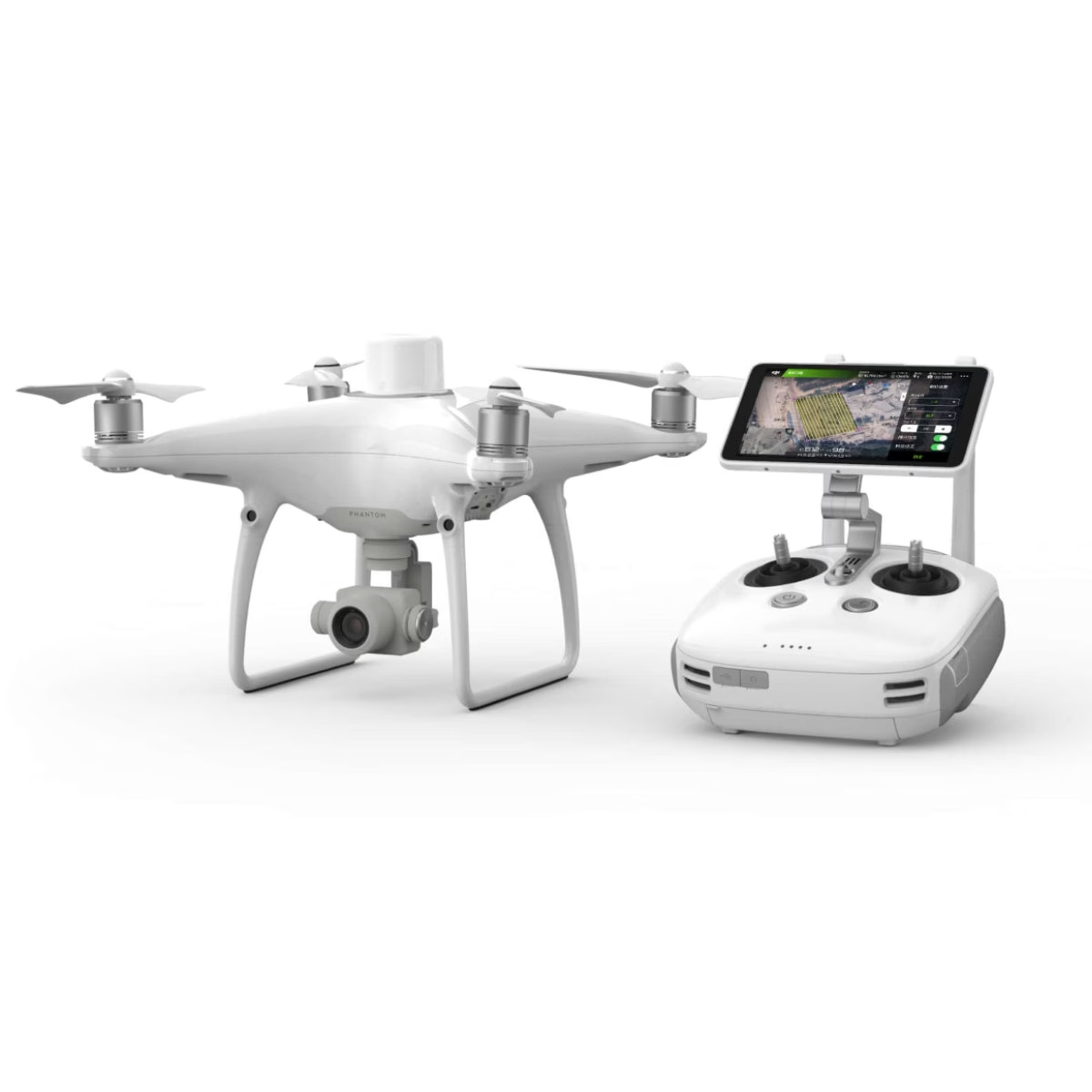
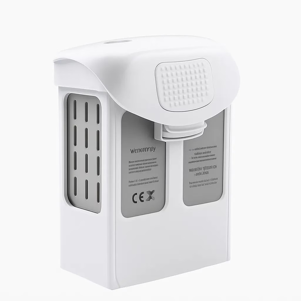
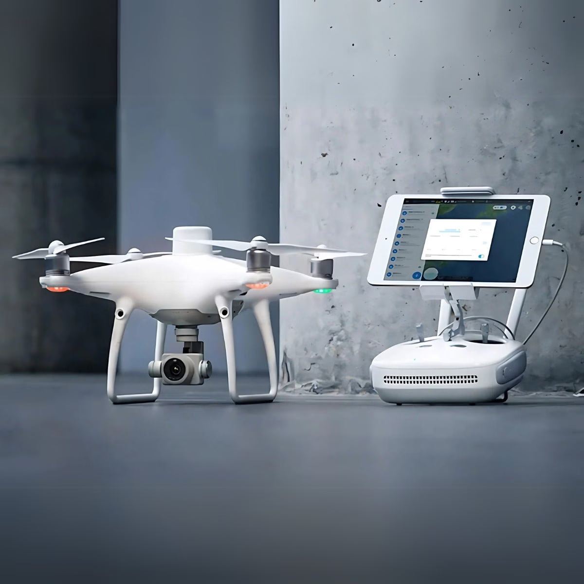
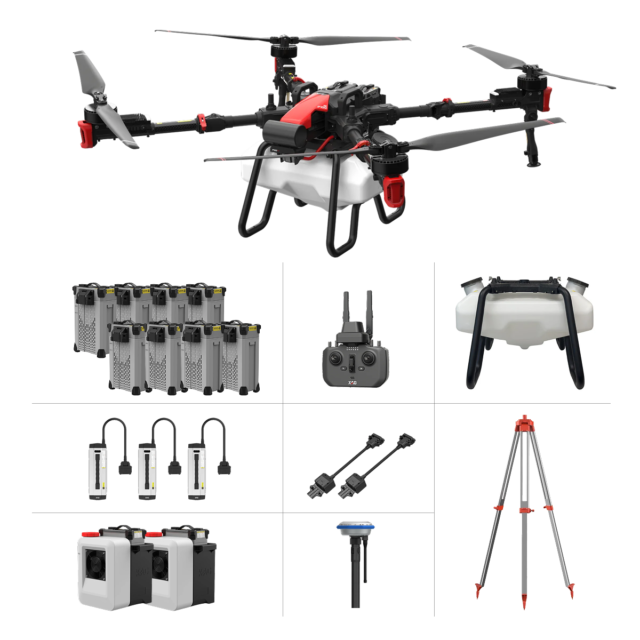
This new kit includes the aircraft, standard controller, charging hub, calibrated camera system, spare propellers, WB37 modules, an additional aftermarket Phantom 4 battery, and a GPC case for the drone.
Key features of the Phantom 4 RTK
• Integrated RTK Module : The Phantom 4 RTK includes an integrated RTK positioning system that delivers real-time, centimeter-level accuracy. Combined with DJI’s TimeSync system, the aircraft continuously aligns the flight controller, camera, and RTK module, ensuring highly precise geospatial data for surveying and mapping tasks.
• High-Resolution CMOS Sensor : A 1-inch, 20-megapixel CMOS sensor enables the Phantom 4 RTK to capture high-detail imagery suitable for professional photogrammetry workloads. At a 100-meter flight altitude, it achieves a ground sample distance (GSD) of approximately 2.74 cm, supporting accurate 2D and 3D model generation.
• Optimized Data Collection : The system outputs standardized image and metadata formats compatible with major photogrammetry platforms. While RTK provides high accuracy during flight, the aircraft also supports Post Processed Kinematics (PPK) workflows using third-party post-processing tools, allowing survey teams to further refine positional accuracy when required.
Built for integrated photogrammetry workflows, the Phantom 4 RTK (S) minimizes ground control requirements while capturing centimeter-level image metadata for accurate modeling and mapping across diverse operational environments.
Advanced synchronization and imaging technology
DJI’s TimeSync architecture ensures every image is precisely synchronized with the RTK module and flight controller, producing reliable geotag accuracy across mission datasets.
The 20-megapixel mechanical-shutter camera reduces distortion during motion, supporting repeatable flight lines and consistent ground sampling resolution. OcuSync transmission maintains stable HD downlink visibility over long distances, improving situational awareness.
When used with DJI Terra, the Phantom 4 RTK (S) forms a fully integrated workflow that generates dependable survey models without the error typically introduced by rolling shutter or misaligned metadata.
Mapping efficiency in demanding environments
The Phantom 4 RTK (S) supports flexible RTK configurations, including NTRIP connectivity and interoperability with the D-RTK 2 Mobile Station. The aircraft’s stable flight characteristics, optimized photogrammetric capabilities, and intuitive mission planning tools enable operators to execute mapping flights quickly while maintaining accuracy.
This performance-driven system helps professionals reduce re-flights, simplify field operations, and generate consistently usable deliverables across surveying, construction, environmental analysis, and asset-inspection missions.
Industry Applications
• Construction mapping: captures accurate terrain models for site planning.
• Surveying projects: delivers precise georeferenced data with reduced GCPS.
• Mining measurements: collects images suitable for volumetric calculation.
• Infrastructure documentation: supports repeatable flight paths for inspection.
• Utility corridor mapping: enables consistent long-line route imaging.
• Environmental studies: documents landscapes for long-term monitoring.
• Agricultural field analysis: provides detailed imagery for crop assessment.
• Municipal planning: supports high-quality imaging for development projects.
• Emergency response mapping: records affected areas for situational planning.
• Waterway and shoreline surveys: enables detailed topographic assessments.
Engineered for enterprise performance
The Phantom 4 RTK (S) is built to support professional operations that require precise geolocation, consistent imaging performance, and strong system reliability. Its RTK architecture delivers dependable positional accuracy, while TimeSync maintains critical alignment between the camera and navigation systems.
The aircraft integrates seamlessly into enterprise workflows through DJI Terra, GNSS data recording, and broad compatibility with correction sources, making it an efficient tool for high-accuracy aerial data capture.
The Phantom 4 RTK (S) provides long-term operational value for enterprise users who require reliable, repeatable, and survey-grade imaging capabilities. Its advanced positioning system and stable aerial platform make it a dependable choice for professional mapping missions.
Dronefly is the West Coast’s trusted enterprise UAV partner, providing authorized support, training, and technical guidance for professional operators. Order from Dronefly today to deploy this proven mapping platform.
Aircraft
• Takeoff weight : 1391 g
• Diagonal distance : 350 mm
• Max service ceiling above sea level : 19685 ft (6000 m)
• Max ascent speed : 6 m/s (automatic flight); 5 m/s (manual control)
• Max descent speed : 3 m/s
• Max speed : 31 mph (50 kph) (P-mode); 36 mph (58 kph) (A-mode)
• Max flight time : Approx. 30 minutes
• Operating temperature range : 32° to 104° F (0° to 40°C)
• Operating frequency : 2.400 GHz to 2.483 GHz (Europe, Japan, Korea); 5.725 GHz to 5.850 GHz (United States, China)
• Transmission power (EIRP) : 2.4 GHz CE (Europe) / MIC (Japan) / KCC (Korea): < 20 dBm; 5.8 GHz SRRC (China) / FCC (United States) / NCC (Taiwan, China): 15 lux)
Camera
• Sensor : 1″ CMOS; Effective pixels: 20 M
• Lens : FOV 84°; 8.8 mm / 24 mm (35 mm format equivalent: 24 mm; f/2.8 – f/11, autofocus at 1 m to ∞)
• ISO range : Video: 100-3200 (Auto), 100-6400 (Manual); Photo: 100-3200 (Auto), 100-12800 (Manual)
• Mechanical shutter speed : 8 – 1/2000 s
• Electronic shutter speed : 8 – 1/8000 s
• Max image size : 4864×3648 (4:3); 5472×3648 (3:2)
• Video recording modes : H.264, 4K: 3840×2160 30p
• Photo format : JPEG
• Video format : MOV
• Supported file systems : FAT32 (≤32 GB); exFAT (>32 GB)
• Supported SD cards : MicroSD, max capacity: 128 GB. Class 10 or UHS-1 rating required, write speed ≥ 15 MB/s
• Operating temperature range : 32° to 104° F (0° to 40°C)
Intelligent flight battery (PH4-5870MAH-15.2V)
• Capacity : 5870 mAh
• Voltage : 15.2 V
• Battery type : LiPo 4S
• Energy : 89.2 Wh
• Net weight : 468 g
• Charging temperature range : 14° to 104° F (-10° to 40°C)
• Max charging power : 160 W
Intelligent battery charging hub (WCH2)
• Input voltage : 17.3 – 26.2 V
• Output voltage and current : 8.7 V, 6 A; 5 V, 2 A
• Operating temperature : 41° to 104° F (5° to 40°C)
GNSS
• Single-frequency, high-sensitivity GNSS module : GPS+BeiDou+Galileo (Asia); GPS+GLONASS+Galileo (other regions)
• Multi-frequency multi-system high-precision RTK GNSS : Frequency used: GPS: L1/L2 GLONASS: L1/L2 BeiDou: B1/B2 Galileo: E1/E5a
• First-fixed time : 8% (such as walls, trees, humans, etc.)
Remote controller
• Operating frequency : 2.400 GHz – 2.483 GHz (Europe, Japan, Korea); 5.725 GHz – 5.850 GHz (United States, China)
• Transmission power (EIRP) : 2.4 GHz CE / MIC / KCC: < 20 dBm; 5.8 GHz SRRC / FCC: < 26 dBm
• Max transmission distance : FCC: 4.3 mi (7 km); SRRC / CE / MIC / KCC: 3.1 mi (5 km) (unobstructed, free of interference)
• Power consumption : 16 W (typical value)
• Display : 5.5-inch screen, 1920×1080, 1000 cd/m², Android system; Memory: 4G RAM + 16G ROM
• Operating temperature range : 32° to 104° F (0° to 40°C)
Intelligent flight battery charging hub (Phantom 4 charging hub)
• Voltage : 17.5 V
• Operating temperature range : 41° to 104° F (5° to 40°C)
• Capacity : 4920 mAh
• Voltage : 7.6 V
• Battery type : LiPo 2S
• Energy : 37.39 Wh
• Operating temperature : -4° to 104° F (-20° to 40°C)
AC power adapter (PH4C160)
• Voltage: 17.4 V
• Rated Power: 160 W


Reviews
There are no reviews yet.