Menu

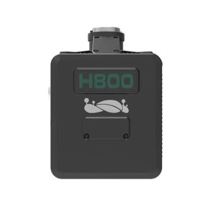
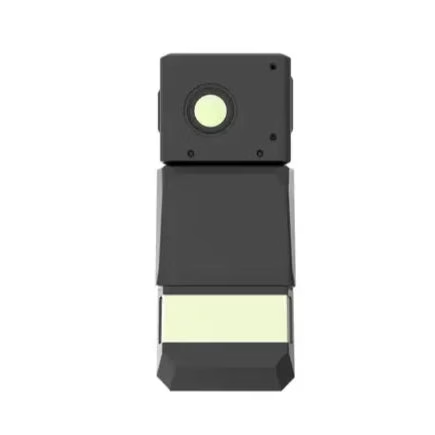
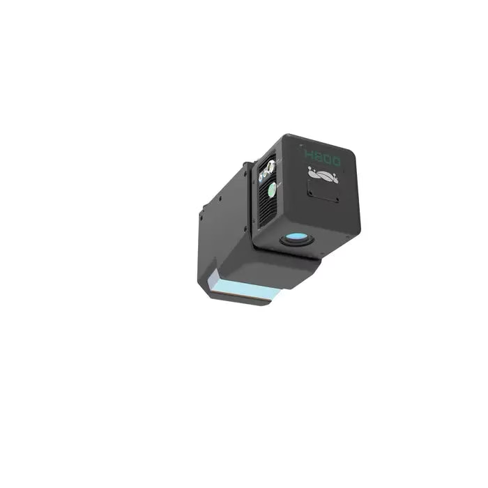
GreenValley LiAir H800 UAV LiDAR System

Original price was: $67,000.Current price is: $40,200.

• 1,000,000 points per second enables ultra-dense LiDAR data capture
• 1000 meter detection range supports large-scale mapping operations
• 100 degree field of view increases swath coverage efficiency
• Unlimited returns capture terrain beneath dense vegetation canopy
• ±5 cm vertical accuracy supports survey-grade mapping workflows
• 26 MP camera captures high-resolution imagery for mapping integration
• 1000 Hz IMU improves trajectory and georeferencing accuracy
• 2.2 kg payload supports deployment on enterprise UAV platforms
• Real-time point cloud display enables in-flight data verification

Brand GreenValleySKU drn-greenvalley-liair-h800-uav-lidar-systemCategory ,
  • Genuine, brand-new units
  • Worldwide insured shipping
  • 12-month warranty support
  • Dedicated account manager

Description

GreenValley LiAir H800 UAV LiDAR System: 1,000,000 pts/s Ultra-Dense Mapping with 1000 m Range and 100° FOV Coverage
The GreenValley LiAir H800 UAV LiDAR System is a medium-to-long-range aerial mapping payload designed for high-density data acquisition across surveying, inspection, and infrastructure workflows. It integrates a 1535 nm LiDAR sensor, high-frequency 1000 Hz IMU, multi-constellation GNSS, and a 26 MP mapping camera into a single 2.2 kg (4.85 lbs) system, enabling synchronized LiDAR and imagery capture during flight.
With scan rates up to 1,000,000 points per second, a maximum detection range of 1000 m (3,281 ft), and vertical accuracy of ±5 cm at 200 m altitude, the LiAir H800 is built for large-area coverage and consistent data quality across varied terrain conditions.
Key Features and Benefits
• Ultra-high data rate: Up to 1,000,000 points per second scanning capability.
• Long-range measurement: Detects targets up to 1000 meters distance.
• Unlimited waveform returns: Captures terrain beneath dense vegetation layers accurately.
• Wide field of view: 100° horizontal coverage increases mapping efficiency.
• High-accuracy positioning: ±5 cm vertical accuracy at 200 meters altitude.
• Integrated mapping camera: 26 MP captures 6252 × 4168 resolution imagery.
• High-frequency IMU system: 1000 Hz improves trajectory and orientation accuracy.
• Adaptive scan profiles: Nine configurations maintain consistent point cloud density.
• Real-time monitoring system: Displays point cloud and system status during flight.
High-Density LiDAR Acquisition for Large-Area Mapping and Inspection
The LiAir H800 is designed to capture large areas efficiently while maintaining high point cloud density and accuracy. Its 100° field of view enables swath widths exceeding 450 m (1,476 ft) at 200 m altitude, reducing the number of required flight lines and improving operational efficiency.
With scan rates reaching 1,000,000 points per second and unlimited returns, the system can penetrate dense vegetation to capture underlying terrain. The integrated INS delivers attitude accuracy of 0.006° and azimuth accuracy of 0.019°, ensuring precise georeferencing across mapping, corridor analysis, and inspection workflows.
Compatibility and System Integration
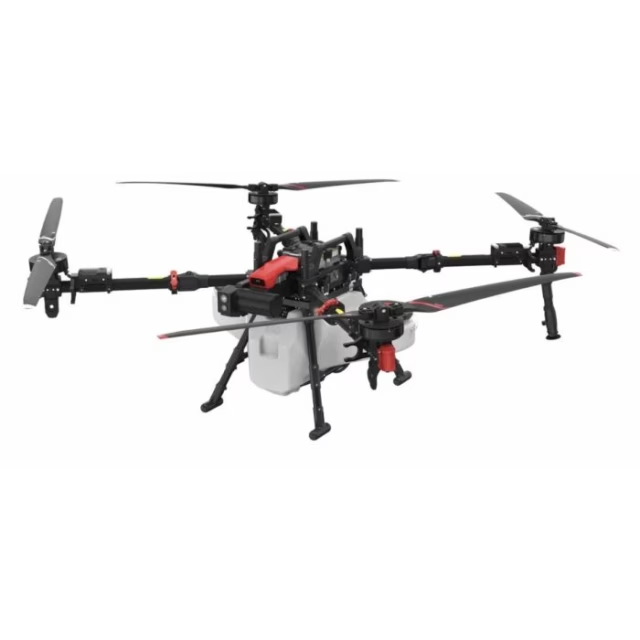
• Compatible with DJI Matrice 350 RTK, DJI Matrice 300 RTK, DJI Matrice 400 platforms.
• OSDK interface enables direct payload integration and system communication.
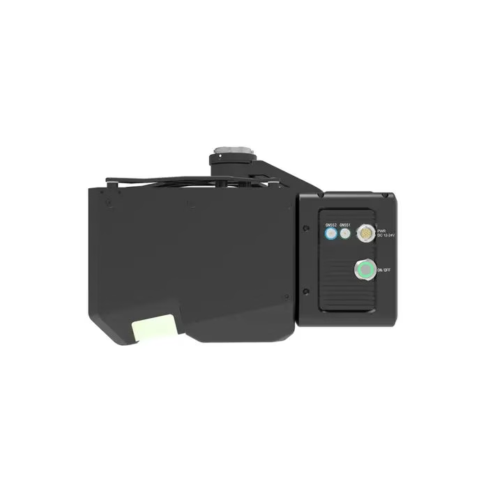
• Supports dual GNSS antenna configuration for high-accuracy positioning workflows.
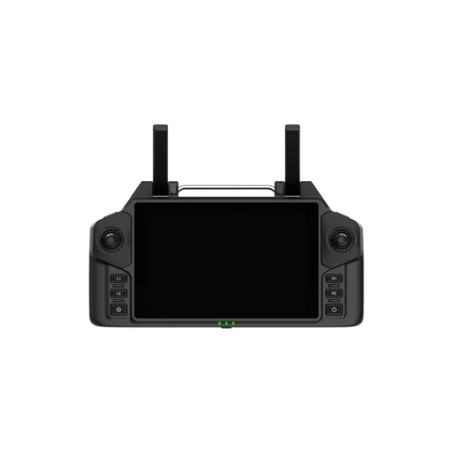
• Integrates with GreenValley Flight Assistant for mission control and monitoring.
• LiGeoreference software supports trajectory processing and point cloud generation.
• Compatible with LiDAR360 and LiPowerline for advanced data analysis workflows.
Applications and Use Cases
• Topographic mapping: Generate high-density terrain models across large survey areas.
• Powerline inspection: Capture conductor clearance and vegetation encroachment data.
• Forestry analysis: Extract ground elevation beneath dense canopy environments.
• Corridor mapping: Survey roads, railways, and pipelines with wide coverage.
• Infrastructure inspection: Map structures and assets with consistent spatial accuracy.
• Disaster assessment: Rapidly capture terrain and structural changes in affected areas.
The GreenValley LiAir H800 UAV LiDAR System provides a combination of long-range capability, high data density, and wide-area coverage for aerial mapping operations. Its integrated architecture reduces setup complexity while supporting consistent and repeatable data acquisition across mission types.
At DSLRPros, we support end-to-end LiDAR workflows with system configuration, deployment guidance, and post-processing solutions. Consult our UAV specialists to integrate the LiAir H800 into your operations and purchase from DSLRPros with confidence.

System Parameters
• Weight: 2.25 kg
• Dimensions: 249 × 102 × 163.3 mm
• Field of view: 100°
• Data frequency: 100–1000 kHz
• Number of returns: Unlimited waveform returns
Performance
• Scan range (100 klx, sunny conditions): 350 m (≥10% reflectivity), 790 m (≥50% reflectivity), 1000 m (≥80% reflectivity)
• Camera resolution: 26 MP
• POS attitude accuracy (post-processing): 0.006°
• POS azimuth accuracy (post-processing): 0.019°
Power
• Input voltage: 18–24 V
• Current: 2.52 A @ 24 V DC
• Power consumption: ≤61 W
Environmental
• Operating temperature: -20°C to 50°C
• Storage temperature: -30°C to 60°C
• Protection class: IP54
Compatibility
• Supported UAV platforms: DJI Matrice 300 RTK, DJI Matrice 350 RTK
Software
• Display console: GreenValley Flight Assistant
• Georeferencing software: LiGeoreference point cloud data solution

Additional information

Brand

GreenValley

Reviews

There are no reviews yet.

Be the first to review “GreenValley LiAir H800 UAV LiDAR System”

Your email address will not be published. Required fields are marked *

Recently viewed