Description
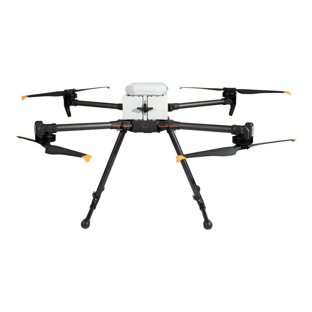
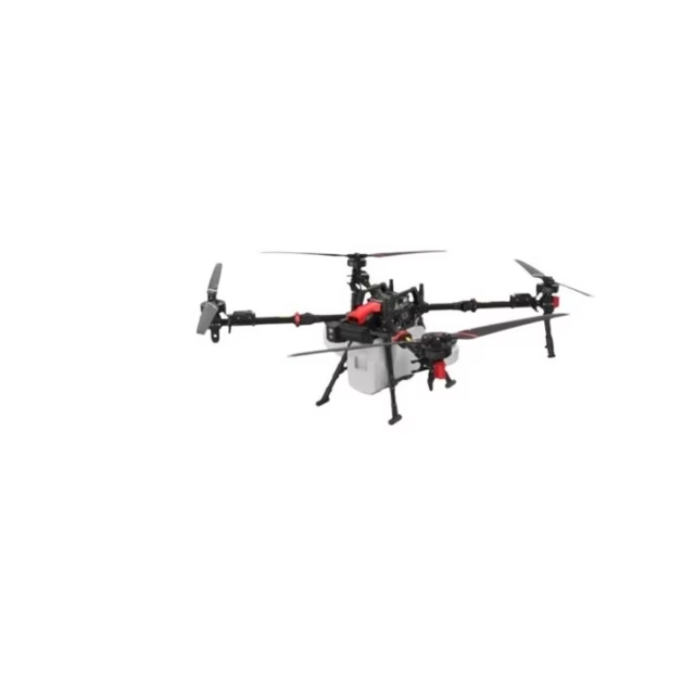
IF800 Tomcat with Blue Herelink + Gremsy VIO: Built for Demanding Missions
The Inspired Flight IF800 Tomcat paired with the Blue Herelink controller and Gremsy VIO F1 sets a new bar for professional UAV operations.
From rugged terrain mapping to remote infrastructure checks and rapid emergency response, this bundle delivers a tough, intelligent, and portable UAV solution.
Bundle Overview
• US-made, NDAA-compliant, and Blue UAS-listed drone
• Up to 54 minutes in the air for maximum coverage
• 6.6 lb payload capacity for heavy-duty sensors
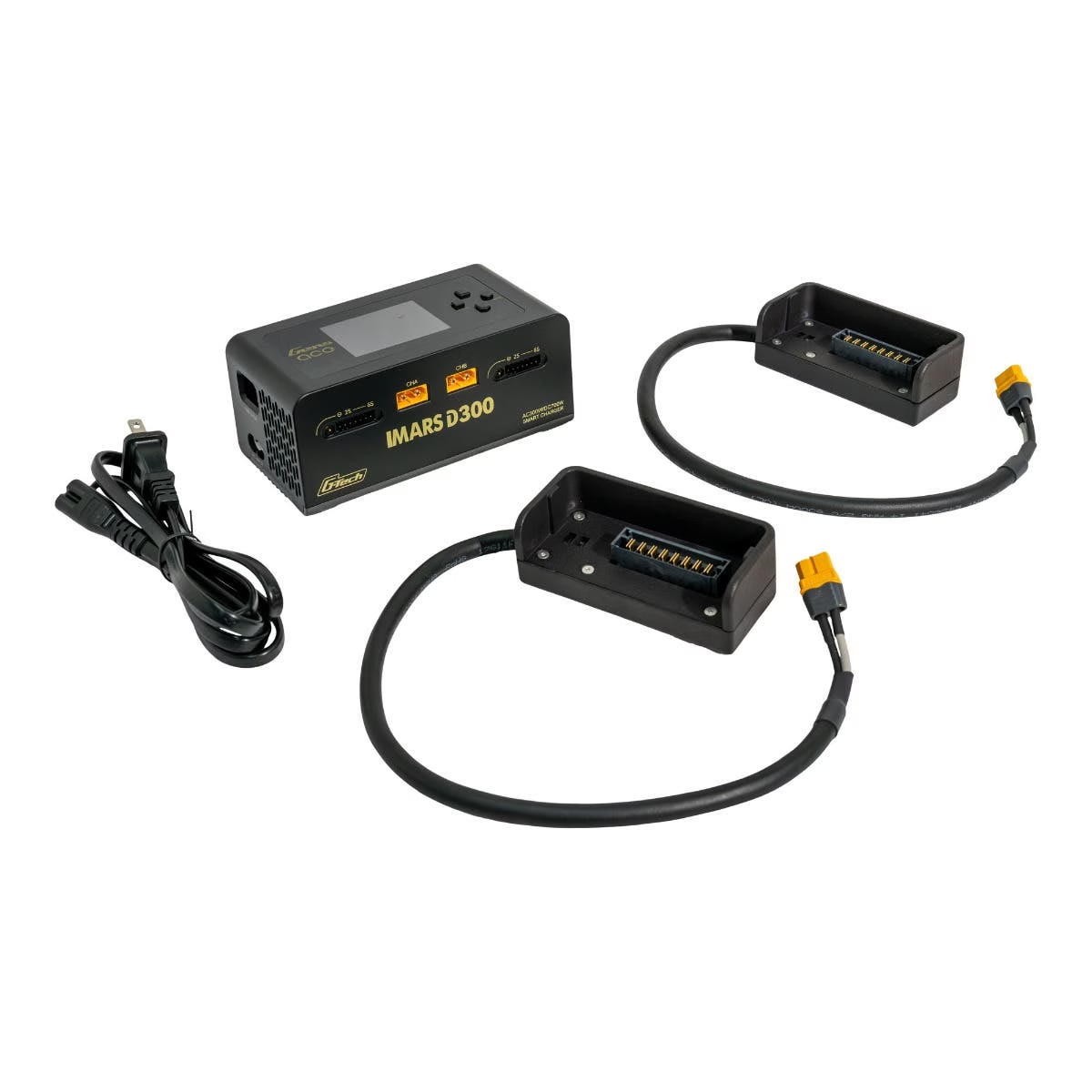
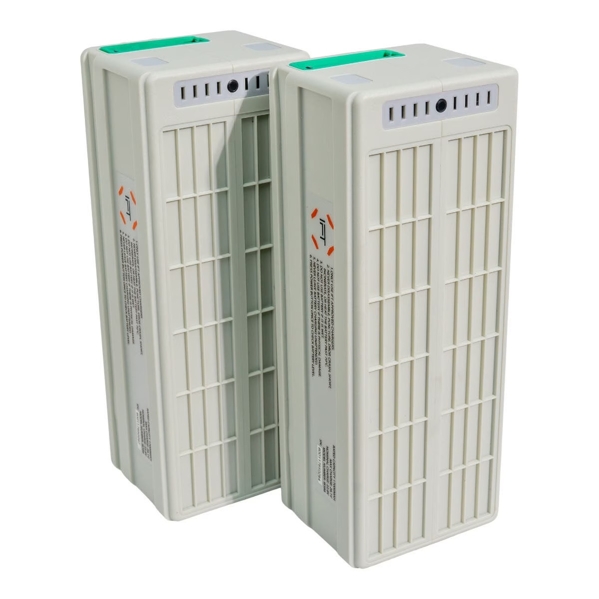
• Hot-swappable batteries-fly longer, work faster
• 49 mph top speed to cover more ground quickly
• Compact, foldable frame for easy transport and field deployment
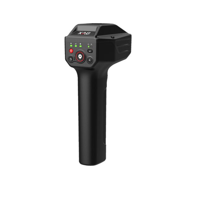
• Blue Herelink for HD video downlink and precise mission control
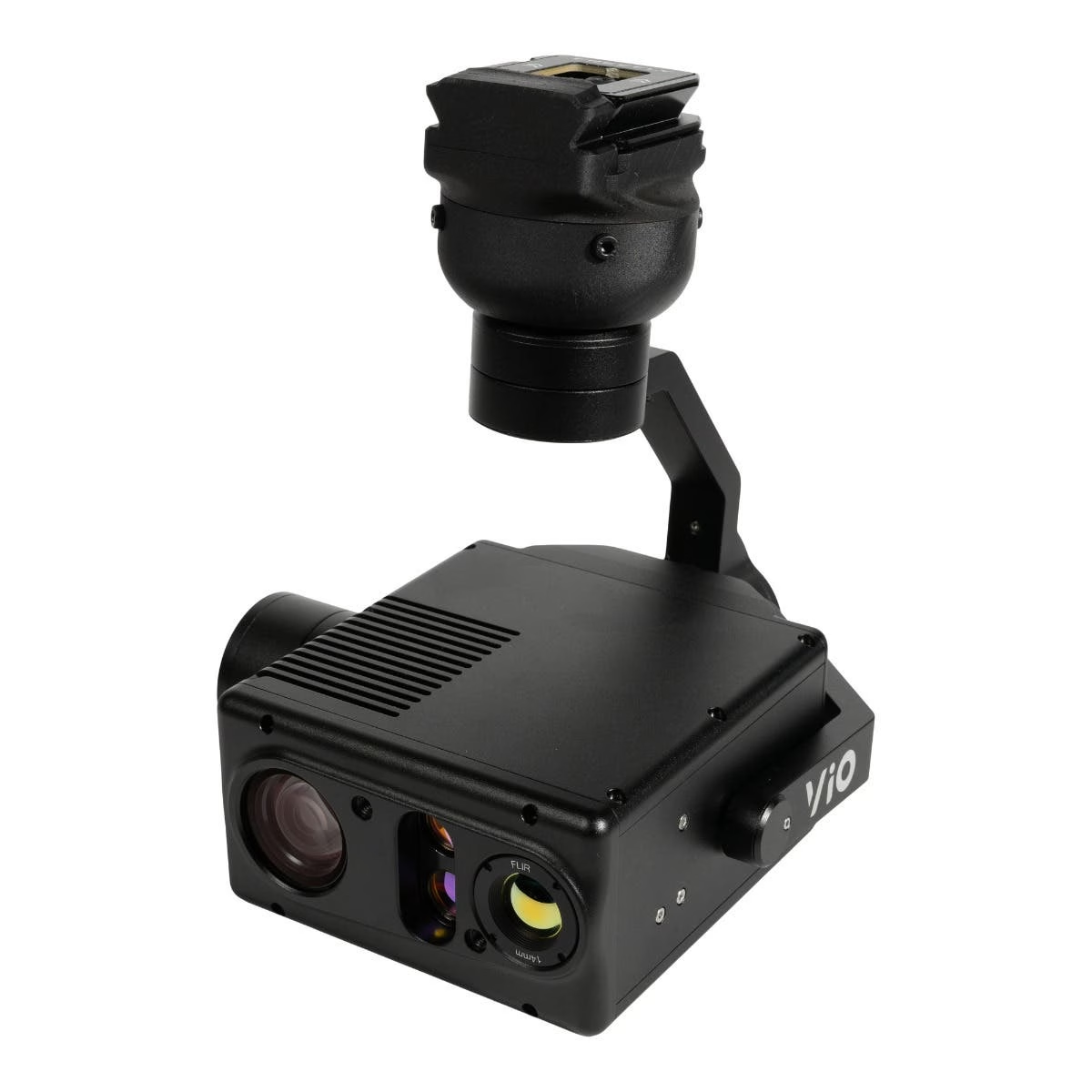
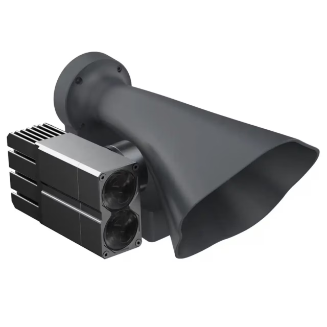
• Gremsy VIO F1 payload with 4K zoom sensor and 640×512 resolution thermal imaging
Get up to 54 minutes of air time, lift up to 6.6 pounds of advanced sensors, and swap smart batteries on the fly-this platform is made for teams who can’t afford downtime.
The IF800 Tomcat is a trusted medium-lift quadcopter, and the Gremsy VIO F1 packs powerful dual sensors with thermal and 4K zoom, driven by onboard AI for smarter data capture.
This isn’t just a drone-it’s a mission-ready data collector that performs when conditions get tough.
Imaging Powerhouse
• Gremsy VIO F1 with 4K zoom sensor
• Radiometric thermal (640×512, 30fps)
• 8.5 MP stills at 3840×2160
• 4K video recording for clear situational insight
• Integrated laser rangefinder-up to 2400 meters
• Dual-mode zoom (thermal + optical)
• AI features: auto zoom, object tracking, and onboard data processing via NVIDIA Jetson Xavier NX
NDAA-Compliant and Blue UAS-Approved
As an NDAA-compliant and Blue UAS-listed drone, the IF800 offers users a major strategic advantage: it’s engineered to meet federal security requirements from day one.
All key components are sourced from approved suppliers, greatly reducing cybersecurity risks and ensuring long-term parts availability. Agencies and enterprises operating in regulated sectors benefit from peace of mind knowing the aircraft aligns with U.S. defense and security standards.
Its presence on the Blue UAS Cleared List also accelerates deployment across government and enterprise missions. Procurement teams can adopt the IF800 without lengthy waivers or compatibility concerns.
For organizations that demand both compliance and performance, the IF800 provides a future-proof solution built for secure, scalable operations.
Best Use Cases
• Defense & Security: surveillance, recon, overwatch
• Infrastructure Inspection: power lines, pipelines, telecom
• Precision Mapping & Survey: high-res aerial data
• Public Safety: search & rescue, rapid response
Dronefly brings deep industry experience, tailored advice, and top-tier support. We help first responders, engineers, and defense pros choose reliable UAV solutions that deliver results in the real world. When uptime and mission success matter, Dronefly has your back.
Performance
• Max Ascent Speed: 5 m/s
• Max Descent Speed: 3 m/s
• Max Air Speed: 22 m/s
• Max Wind Resistance: 10 m/s, 12 m/s gusts
• Max Tilt Angle: 30°
• Max Angular Velocity: Tilt: 300°/s, Yaw: 120°/s
• Operating Temperature: -20°C ~ 45°C
• Operating Humidity: IP43 5% ~ 99%
Physical Features
• Diagonal Size (propeller center to center): 905 mm
• Unfolded Size (flight ready, WxLxH): 132 x 114 x 52 cm
• Folded Size (stow, WxLxH): 36 x 44 x 20 cm
• Empty Weight (w/o batteries): 4.2 kg
• Weight w/ Batteries: 8.5 kg
• Max Gross Takeoff Weight: 11.5 kg
• Max Payload Capacity: 3.0 kg
• Transport Case Size (WxLxH): 52.8 x 80.7 x 31.7 cm
• Transport Case Weight (w/ aircraft & GCS): 18 kg
Flight Stack
• Flight Controller: CubePilot Cube Blue H7, Triple Redundant IMU
• GNSS / Compass: Dual CubePilot Here4 Blue
• Downward Ground Sensor: LightWare SF000/B
• Payload Power Rails: 6s Battery Voltage 5v, 12v, 18v
• Payload Interface: IF800 Universal Payload Interface
• Operating Software: Copter by Ardupilot
Flight Modes
• Position Hold: Automatically holds altitude and position, manually change position
• Loiter: Holds altitude and position, precision manual movements using GPS
• Auto: Executes pre-defined waypoint mission
• RTL: Auto returns to takeoff location and lands
• Land: Auto land while maintaining horizontal position
• Altitude Hold: Holds altitude only, failsafe mode if GPS signal lost


Reviews
There are no reviews yet.