Range accuracy: +/- 1 cm across all channels with detection range up to 120m
Range accuracy: +/- 1 cm across all channels with detection range up to 120m.
$13,455.00
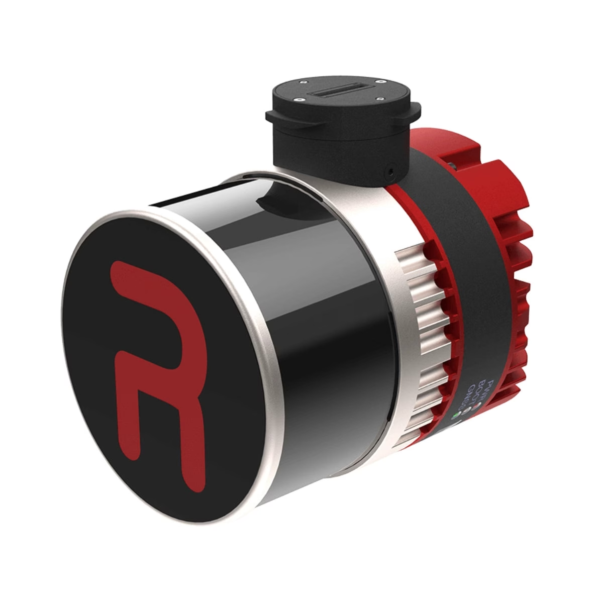
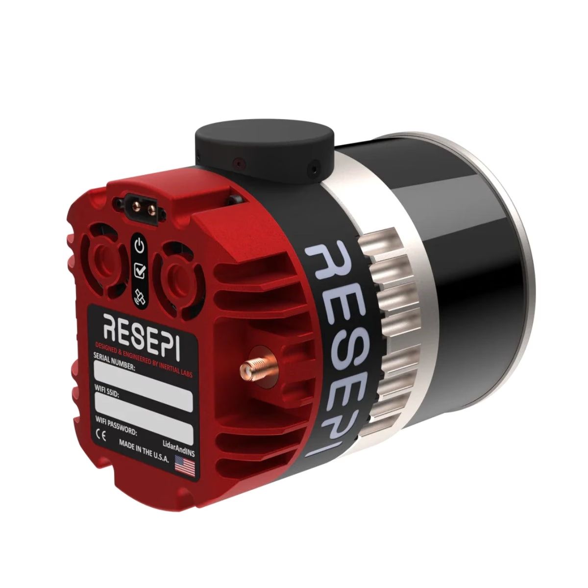
WISPR Inertial Labs RESEPI Ultra Lite-XT32 5MP Camera (FPV Gimbal) is a Drone Camera / Payload from WISPR. Range accuracy: +/- 1 cm across all channels with detection range up to 120m.
Review the model information, technical details, compatibility, included configuration and documentation before requesting a destination-specific B2B quotation.
Related products, categories and research.
WISPR Inertial Labs RESEPI Ultra Lite-XT32 5MP Camera (FPV Gimbal) is a Drone Camera / Payload from WISPR. Range accuracy: +/- 1 cm across all channels with detection range up to 120m.
WISPR Inertial Labs RESEPI Ultra Lite-XT32 5MP Camera (FPV Gimbal) is a Drone Camera / Payload from WISPR. Range accuracy: +/- 1 cm across all channels with detection range up to 120m.
The lightest and most compact complete LiDAR payload in the RESEPI lineup at 1.1 kg, it integrates the Hesai XT-32 LiDAR with an Inertial Labs Kernel-210 IMU, NovAtel OEM7500 GNSS receiver, and an embedded 5MP colorization camera — delivering high-accuracy point cloud data with simultaneous color capture in a package designed for maximum flight endurance.
Before purchase, confirm the exact model or part number, configuration, compatible accessories and included scope against the written quotation and manufacturer documentation.
Match the manufacturer model, part number and product-label details to the quotation.
Review system, accessory, software, power and installation requirements that apply to this product.
Confirm included items, condition, warranty, documentation and delivery terms before payment.
Use the product media and exact-unit photographs supplied with the quotation to confirm model, configuration and condition.
These points summarize model-specific technical information available for product evaluation.
Range accuracy: +/- 1 cm across all channels with detection range up to 120m.
The lightest and most compact complete LiDAR payload in the RESEPI lineup at 1.1 kg, it integrates the Hesai XT-32 LiDAR with an Inertial Labs Kernel-210 IMU, NovAtel OEM7500 GNSS receiver, and an embedded 5MP colorization camera — delivering high-accuracy point cloud data with simultaneous color capture in a package designed for maximum flight endurance.
Range accuracy: ±1 cm
Position accuracy: 1 cm + 1 ppm (RTK), 0.5 cm (PPK)
Laser range reaches 80m at 10% reflectivity on central channels and up to 120m overall, with a range accuracy of +/- 1 cm.
Suitability depends on the exact configuration, compatible systems, intended professional use and manufacturer instructions.
Evaluate WISPR Inertial Labs RESEPI Ultra Lite-XT32 5MP Camera (FPV Gimbal) for compatible aircraft and mission workflows supported by its exact interface, power and payload requirements.
Match camera, thermal, LiDAR, spotlight, speaker or sensor capability to the intended workflow.
Confirm supported aircraft, gimbal/port interface, firmware, controller and application requirements.
Verify mounting hardware, cables, storage media, environmental rating and included accessories.
The table summarizes confirmed model and technical information from product specifications and available technical documentation. Configuration-sensitive values should be checked against the exact supplied unit.
Use this checklist to reduce model, configuration and integration mismatches.
Manufacturer, regulator and other authoritative references are prioritized for product verification.
Reference material relevant to WISPR Inertial Labs RESEPI Ultra Lite-XT32 5MP Camera (FPV Gimbal) identity, specifications, compatibility or deployment.
Key questions for evaluating WISPR Inertial Labs RESEPI Ultra Lite-XT32 5MP Camera (FPV Gimbal) before purchase.
Range accuracy: +/- 1 cm across all channels with detection range up to 120m.
Exact payload/accessory model and manufacturer part number; Supported aircraft and gimbal/port or electrical interface; Firmware, controller and application compatibility.
No. Hardware revision, software, accessories, modules, handpieces, probes or other options can vary. The written quotation and exact-unit identification should define the supplied configuration.
Only items explicitly listed in the quotation and packing scope should be treated as included. Reference photographs can show accessories or system components that are not part of the final offer.
International B2B delivery can be arranged for approved destinations subject to product-specific transport requirements, customs rules and the agreed freight, insurance and delivery terms.
Manufacturer names and trademarks are used for product identification. Confirm model-specific instructions, compatibility and regional requirements before deployment.
Model, part number, condition and supplied configuration can be confirmed before dispatch.
Quotation, packing scope, warranty terms and delivery responsibilities are documented before order approval.
Export packing, freight, insurance and shipment documentation can be coordinated for approved destinations.
Support is available for compatibility questions, installation planning and procurement documentation.
Include delivery country, quantity, required configuration and target purchase date for a destination-specific offer.
Tell us what you need — we respond within one business day.